Slick Falls
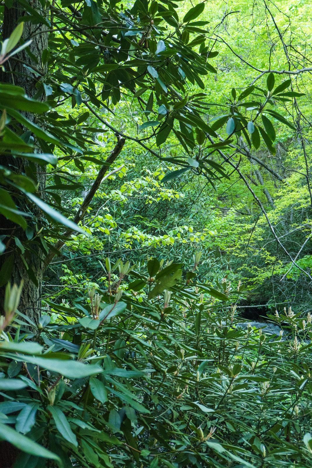
This is a long, moderate to steep slide with normally low water volume. (The stream is marked intermittent on the USGS map). It's also so closed in by vegetation that it's difficult to see from any one vantage point. The photo here is the easy to reach view from a side path off Snooks Nose trail. I could see a hint of falling water through the leaves, but it became slick, steep, and so choked with rhodos that it wasn't worth trying to go any further.
Statistics
- Height: 200+ ft by some estimates
- Elevation: 2400 ft
- Stream: Slick Falls Branch
- Landowner: Pisgah National Forest
- GPS: 35.691288, -82.205788