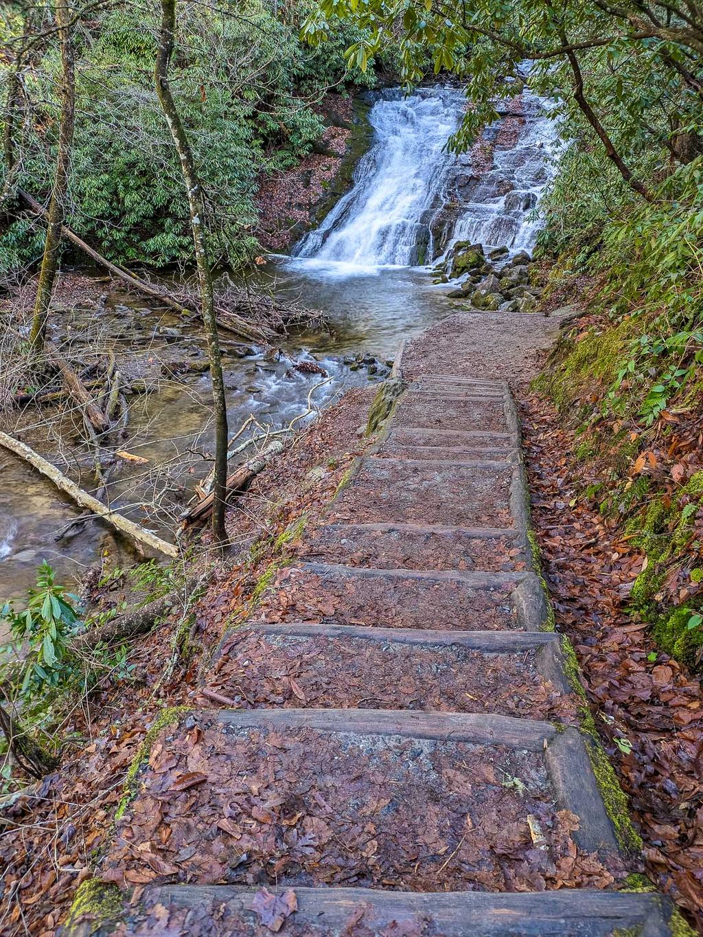
Indian Creek Falls

A steep slide/shallow cascade among rhododendron-lined banks. A little more water flows down the river-right side of the sloped rock into a nice little pool at the base.
Statistics
- Height: 25 ft
- Elevation: 1890 ft
- Stream: Indian Creek
- Landowner: Great Smoky Mountains National Park
- GPS: 35.472751, -83.427368
Map
Driving Directions
Follow the signs to the national park through downtown Bryson City to Deep Creek Campground. From the Deep Creek hiker parking area (past the picnic area on the entrance road), walk about 0.2 mi up the main Deep Creek trail past Tom Branch Falls on the right. Continue another 0.6 mi past Tom Branch Falls to the Indian Creek trail junction. Turn right and proceed a couple hundred feet to a side path down some steps to a view in front of the falls.