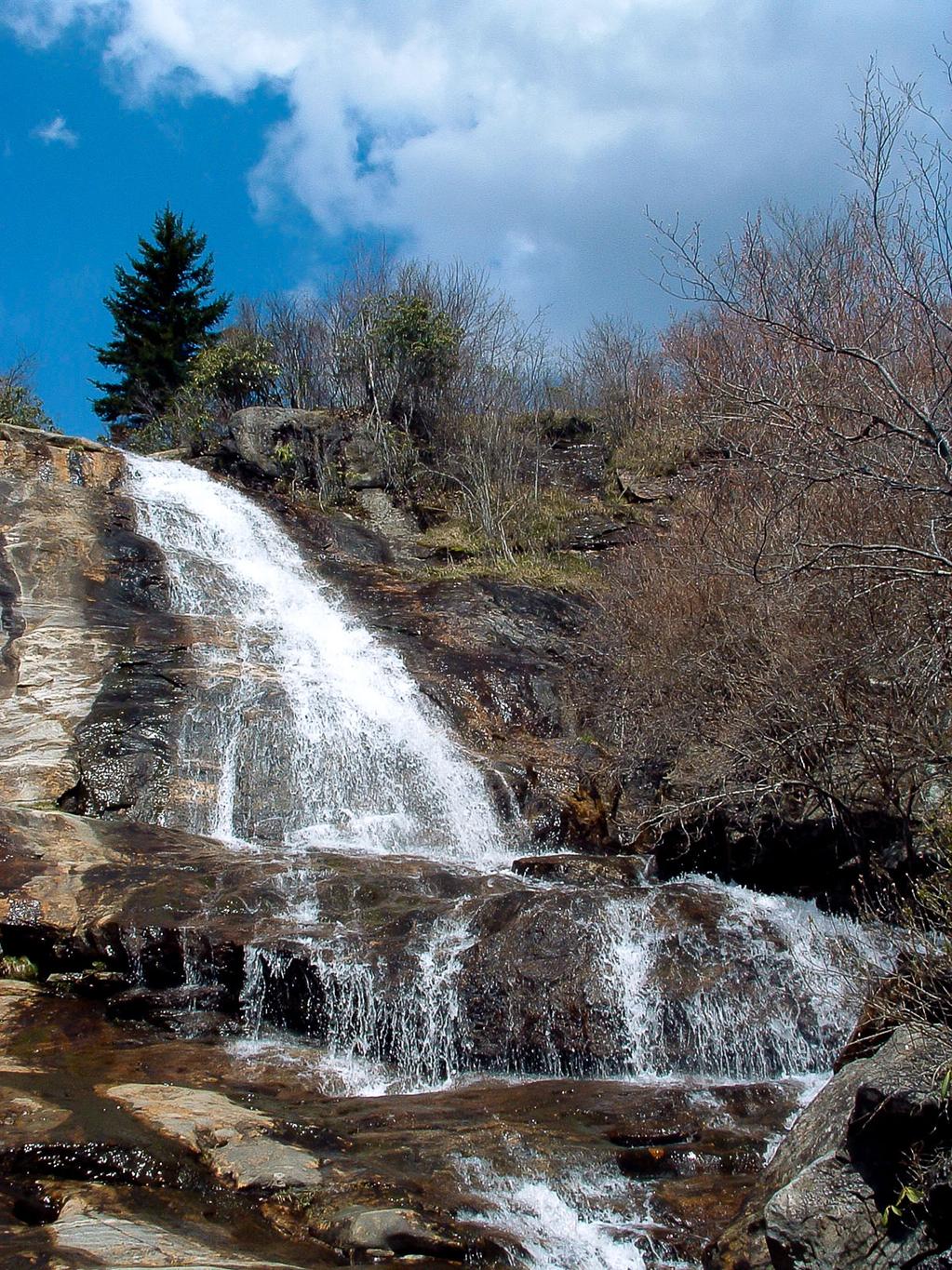
Upper Falls

Upper Falls is on a small stream, but it's fairly reliable in terms of water flow, even during the summer. Much higher than it is wide, the stream tumbles over a bumpy, colorful rock face with some free-falling sections. It spreads out over a small ledge near the middle, then begins a long, curving slide above which you will come out on the trail. The cliffs on either side are sparsely vegetated with high-elevation flora, including spruces & firs, mosses, and grasses.
Statistics
- Height: 50 ft
- Elevation: 5250 ft
- Stream: Yellowstone Prong
- Landowner: Pisgah National Forest, Pisgah Ranger District
- GPS: 35.31813, -82.866753
Hike Information
- Difficulty: Moderate
- Length: 2.9mi
- Tread Condition: Moderately Rough
- Climbing: Hilly (310 ft)
Map
GPS Directions & Map
From Current Location or address:
Driving Directions
From Asheville, take the Blue Ridge Parkway south past Mount Pisgah and the junction with US Hwy. 276 (27.7 miles from NC 191). Or head up to the parkway on US 276 from Brevard, NC for 15.1 miles, and go south. The Graveyard Fields overlook is 7 miles south of US 276 on the Parkway at milepost 418; park there.